Copernicus Hackathon Graz
Event postponed
We had been very much looking forward to welcoming you to this event. However, what counts even more than bringing our community together, is keeping everybody within and beyond it healthy and safe. Honouring our responsibility both as an organisation and as individuals, we take all necessary precautions in resuming our operations.
Stay healthy, safe and up to date – we’ll be in touch soon!
The Copernicus Hackathon Graz is part of the European Union’s Copernicus Programme. Our aim is to motivate and inspire developers, entrepreneurs and the industry to develop innovative ideas for the betterment of society.
We are inviting all developers, scientists, researchers, entrepreneurs, designers and all Earth Observation and space enthusiasts to join us in the first Copernicus Hackathon taking place in Graz!
When: Postponed for Autumn 2020
Where: TU Graz, Stremayrgasse 16, Graz, Austria
In addition, the set-up of recreational public spaces, the extension of attractive, green pedestrian zones and cycle path connections, the best possible access to public transport and the reduction of motorised individual transport are important objectives of the city.
The domains of application of Copernicus, however, are not limited to precision farming. They also include seasonal mapping of cultivated areas, water management and drought monitoring, as well as subsidy controls.

It also enables the production of forest cartographies which take into account different types of parameters, such as tree species or biophysical variables.
Earth Observation data is also used to monitor forest fires (for both real-time detection and tracking) or to monitor illegal logging.

Heterogeneous Earth Observation (EO) data is being generated with higher pace than ever before. The immensely increasing remotely sensed data Volume, Velocity and Variety, poses the immediate challenge of managing the complex Big Data using techniques that support efficient consumption of theses datasets in diverse applied domains without expert knowledge of the remote sensing techniques.
Challenge
1. Developing models (data storage models to handle spatio-temporal data e.g. data cubes, data warehousng etc) and automated analytical tools (e.g. spatial data mining, ML etc ) that would support remotely sensed big data management and analytics for specific domains without expert RS knowledge of the user.
2. Semantics enrichment of remotely sensed data using data fusion techniques and/or Linked data approach.

Recent climatic variation and changes have drastically increased the risk of wildfires that pose threat to both human and wild life. The scale and intensity of the recent catastrophic wildfire events in Australia is an eye opener for the world and also demands for appropriate response from the researchers to invest more resources and efforts in studying wildfires at local, national and global scales.
RS is already being used for the detection and monitoring of active wildfire events. However, predicting wildfires based on climatic, meteorological and other relevant datasets at various scales timely and accurately is still a big challenge.
Challenge
Creating wildfire prediction models for Europe using remotely sensed and other related publicly available datasets.

The intensity and frequency of disasters is increasing around the globe. This is mostly attribute to the climate change thus making it one of the important issues of our time. Mountain ecosystems are more vulnerable because of the sensitivity of glaciers towards climatic variations. Monitoring glacier dynamics as indicators of climate change are thus important for understanding and assessment of glacier related hazards.
Challenge
Developing models for monitoring glacial dynamics for predicting glacier behavior and sensitivity to climate variations.

Day 1:
- 13:00–14:00 – Registration of participants
- 14:00–15:00 – Opening session and introduction of the topics
- 15:00–16:30 – Technical sessions
- Introduction to Copernicus data
- Working with DIAS tools
- Data sources and tools (Sentinel HUB)
- Data analytics
- 16:30–17:00 – Teaming up
- 17:00–19:00 – Hacking and working with mentors
- 19:00–19:30 – Business session – Business model
- 19:30–20:00 – Dinner
- 20:00–23:00 – Hacking and working with mentors
- 23:00–23:30 – Stretching – Physical exercise
Day 2:
- 00:00–08:30 – Hacking
- 08:30–09:00 – Breakfast
- 09:00–10:00 – Business session – Perfecting pitch
- 10:00–12:00 – Hacking and working with mentors
- 12:00–14:00 – Hacking and lunch
- 14:00–15:00 – Presentations
- 15:00–15:45 – Awards ceremony
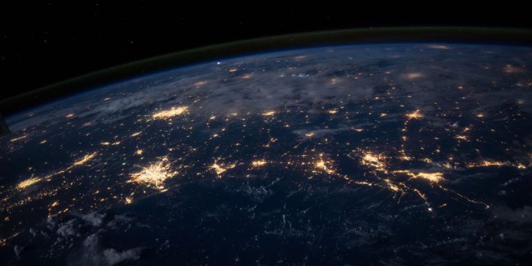
Copernicus is the European Union’s Earth Observation Programme, looking at our planet and its environment for the ultimate benefit of all European citizens. It offers information services based on satellite Earth Observation and in situ (non-space) data.
Vast amounts of global data from satellites and from ground-based, airborne and seaborne measurement systems are being used to provide information to help service providers, public authorities and other international organisations improve the quality of life for the citizens of Europe. The information services provided are freely and openly accessible to its users.
Hackathons are gathering a large number of people with various fields of expertise and different skills with the aim of developing a software, starting from an idea and ending with an operational application.
The Copernicus Hackathon Programme, is bringing together developers, entrepreneurs and topic-specific experts to develop new applications based on Copernicus Earth Observation data and services. Copernicus Hackathons is giving people all over Europe the chance to come together and explore many application fields here on Earth with free and open space data from Copernicus.


